Sabiqounbooks
An Illustrated Geography of The 25 Prophets Mega Map & Stick-A-Knowledge
An Illustrated Geography of The 25 Prophets Mega Map & Stick-A-Knowledge
Couldn't load pickup availability
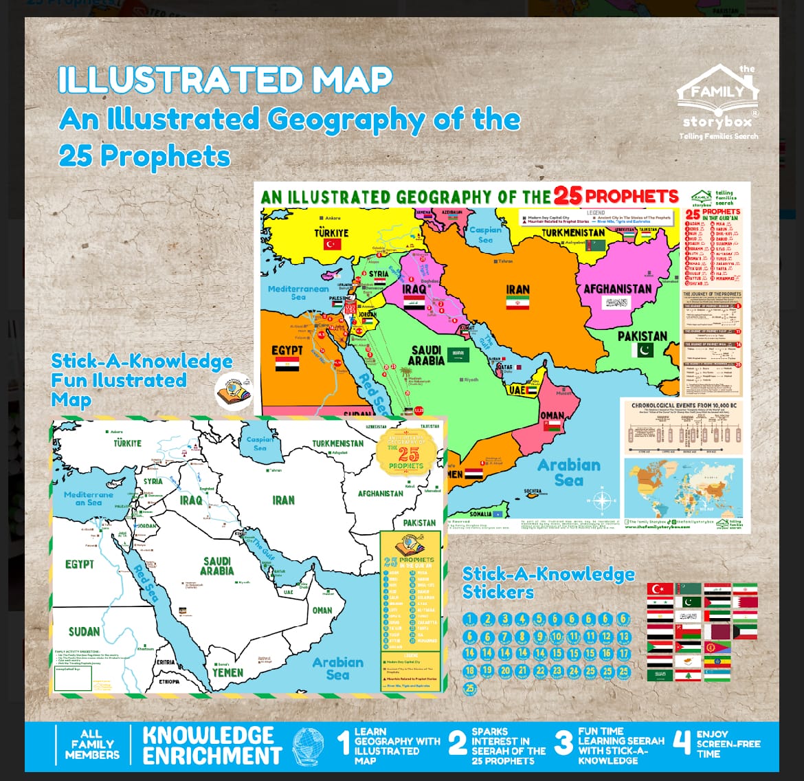
The first map (594 x 841 mm) is curated based on Stories of the Prophets by Imam Ibnu Kathir and Atlas of The Qur’an by Dr Shawqi Abu Khalil. The map shows the ancient town / cities where the 25 Prophets were given their mission and includes the route taken by them to complete their da’wah mission.
We took an extra step to identify the Prophet’s cities in the map according to their ancient civilization names. Capital cities in modern civilization are also included for children and adults to learn and appreciate Seerah and Geography. The timeline from earliest human civilization to the time of the last messenger, Muhammad s.a.w are included for all family members to appreciate Seerah and History.
The second Map (594 x 841 mm): the Stick-A-Knowledge version of the first map is included in this package for fun time seerah activities. It is an empty map with stickers consisting of flags of 25 countries and numbers from 1 to 25 representing the 25 Prophets. Parents or adults can use the first map to assist their young ones to complete the Stick-A-Knowledge map. There are 25 flag stickers for the countries and numbers from 1 to 25 representing the 25 Prophets.
Both maps can be laminated for frequent use or you can frame it for family treasure or for Seerah learning aid at home or school!
Share


