Sabiqounbooks
Al-Isra’ wal Mi’raj and The Story of The Blessed Land
Al-Isra’ wal Mi’raj and The Story of The Blessed Land
Couldn't load pickup availability
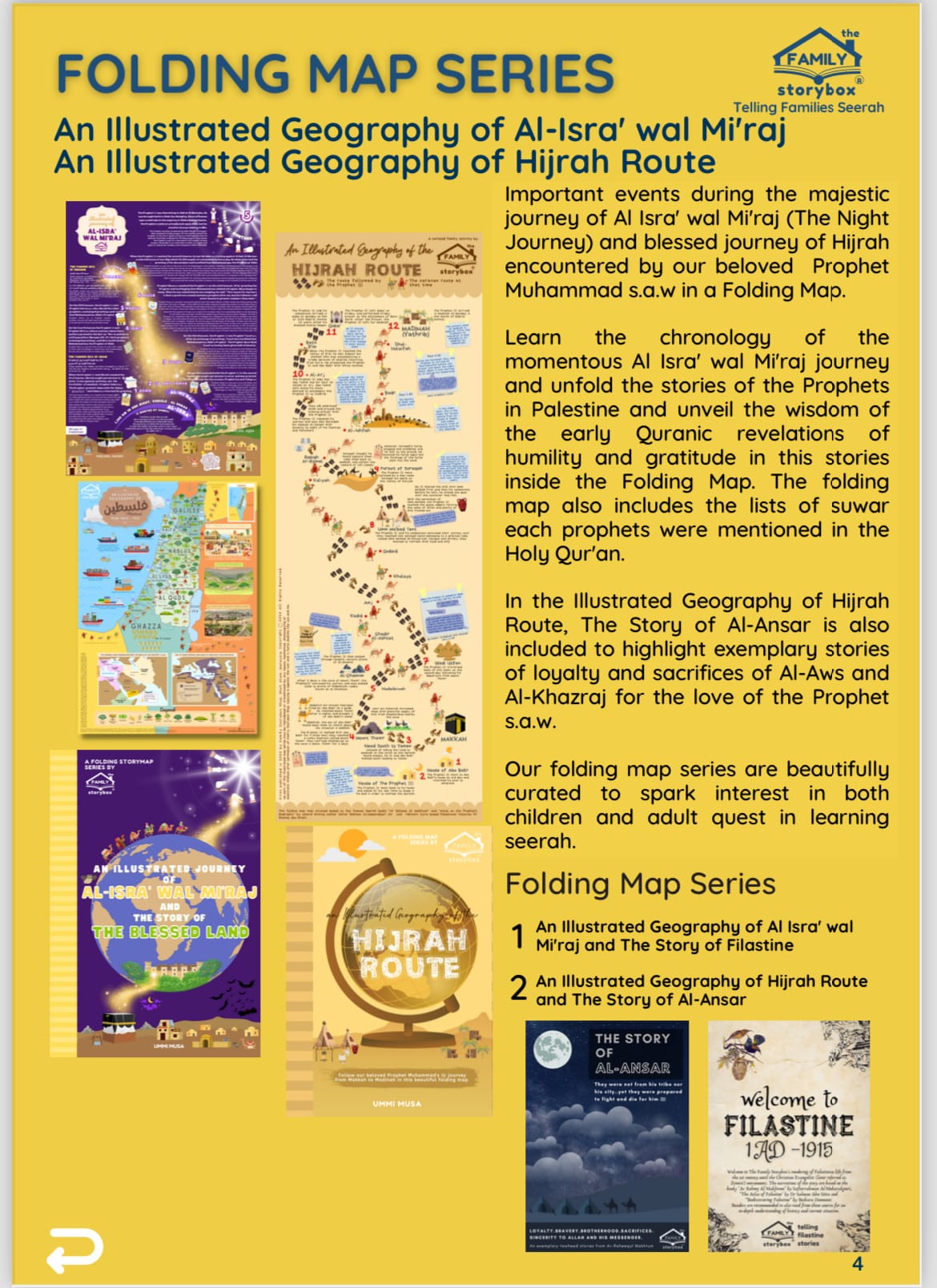
The first map (594 x 420 mm): An Illustrated Journey of Al-Isra’ wal Mi’raj is curated based on the book Ar-Raheequl Makhtoum (The Sealed Nectar) by award winning author Safiurrahman Mubarakpuri. The poster shows the events during Al-Isra (The Night Journey) from Masjidil Haram in Makkah to Masjidil Aqsa in Jerusalem. We took an extra step to illustrate Al-Mi’raj events (Ascension from Masjidil Aqsa to Sidratul Muntaha) where our beloved Prophet met with 8 other Prophets at each heaven. Each level of heaven is marked with these Prophets names, and the important events during their life and times.
The second map (594 x 420 mm): An Illustrated Geography of Palestine is curated based on the book Atlas of Palestine by Dr Salman Abu Sitta. He was born in Beer Sheeba before The Nakba and has dedicated his life to Palestinian cause. His Atlas is most known for the practical plan for implementing the right to return of Palestinian refugees. The Illustrated Geography of Palestine summarizes the 500 pages of Dr Salman’s Atlas for young children to be aware of the beauty of Palestine history before The Nakba. An in-depth look at the geography and socio-economy of Palestine under the Ottoman rule are shown through its plantations and export and import through land and sea. The map is marked with the blessed plants at the Maritime Plain, Inland, The Hills of the Central Region and Bir El-Saba’ Plateau. The socio-economy around the blessed land with exports of its produced products and imports from the surrounding Ottoman ruled region via Mediterranean Sea and land routes are beautifully shown.
NOTE: Ansar Map is not included....
Share


